ARADCOM

Detroit - Cleveland
Defense Area
ARADCOM |
|
Detroit - Cleveland Defense Area |
| Unit: | 1955 - 1958, Battery D, 516th USA 1958 - 9/58, Battery D, 18th USA 9/58 - 11/59, Battery D, 4th Battalion, 3rd USA 11/1959 - 2/63, Battery C, 2nd Battalion, 177th MIARNG |
| Activation Date: | 1955 |
| De-activation Date: | February 1963 |
| IFC Area: | West of Squirrel Road North of M-59| GPS: +42° 38' 47", -83° 13' 15" |
| Launch Area: | North of M-59 East of I-75 GPS: +42° 38' 35", -83° 14' 01" |
| Radar(s): | LOPAR |
| Missiles: | 30 Ajax |
| Magazine(s): | 1 type B, 2 type C |
| Launchers: | 12 |
| Current Status: | The IFC is gone. All that remains is a road, one small foundation under some trees and a lot of rubble sticking out of the ground. At the Launcher Area, the pits have either been capped or filled in at the elevators. The blast deflection plates still remain along with the mounting points for the rails. All access hatches have been removed and capped with concrete. The Fueling berm is still there along with the fueling pit and winch boom. |
| Comments: |
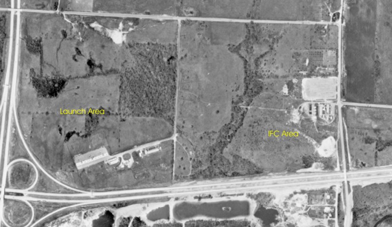
D-97 as it appeared in 1961
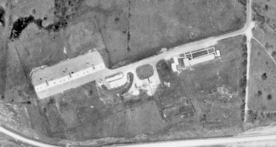
D-97 Launcher Area as it appeared in 1961. The road to the south is M-59.
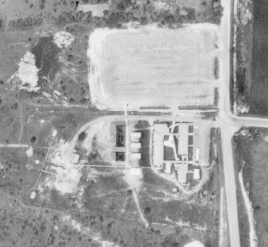
D-97 IFC as it appeared in 1961. The road to the East is Squirrel Road.
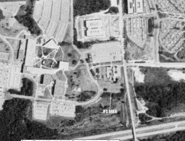
The IFC area as it was in 1988. This picture obtained from the Microsoft Terraserver.
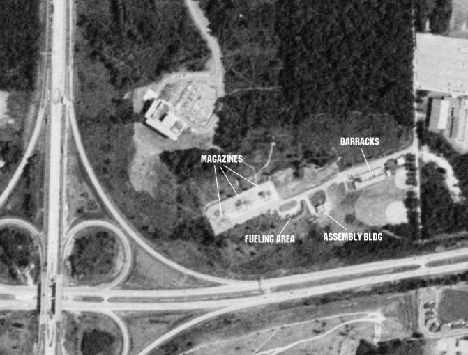
This is what the Launcher Area looked like in 1988.
Formerly Used Defense Sites Public Geographic Information System
| Property Name: |
OAKLAND COMMUNITY COLLEGE |
|||||
| Latitude: | 42° 38' 43" N | 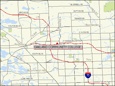 |
||||
| Longitude: | 83° 13' 25" W | |||||
| City: | Pontiac | |||||
| County: | Oakland | |||||
| State: | MI | |||||
| Corps Geographic Office: | Louisville District (LRL) | |||||
| Point of Contact: | LRL Public Affairs Office | |||||
| Public Affairs Office Phone Number: |
502-315-6766 | |||||
| Status on National Priorities List: |
Not Listed | |||||
| EPA Region: | 5 | |||||
| Congressional District: | 9 | |||||
| Restoration Advisory Board Available: |
No | |||||
|
|
||||||
| NIKE MISSILE BATTERY D-97 | ||||||
|
|
||||||
| THIS SITE WAS A FORMER NIKE MISSILE BATTERY | ||||||
| Current Ownership Types(s): County | ||||||
| Cost to Complete (thousands): $332.83 | ||||||
This page was last updated on
03/10/2014
.
© 1998 - 2025 T. Bateman