ARADCOM
Detroit - Cleveland
Defense Area
ARADCOM |
|
Detroit - Cleveland Defense Area |
| Unit: | 1/1955 - 9/58 - Battery C, 85th USA 9/58 - 2/63, Battery A, 2nd Battalion, 517th USA |
| Activation Date: | January 1955 |
| De-activation Date: | February 1963 |
| IFC Area: | North side of Groh Road west of E. River Road GPS: +42° 06' 28", -83° 09' 19" |
| Launch Area: | On SE side of Grosse Ile Airport near the former Navy Seaplane
base GPS: +42° 05' 54", -83° 09' 15" |
| Radar(s): | LOPAR |
| Missiles: | 30 Ajax |
| Magazine(s): | 1 type B, 2 type C |
| Launchers: | 12 Ajax |
| Current Status: | IFC Area now belongs to the Township of Grosse Ile and is leased to a landscaping company. The TTR and /MTR Radar towers were there until the fall of 1998 when they were removed. The Launcher area has been completely demolished and made into a nature conservatory. This area is currently being run by the Environmental Protection Agency. |
| Comments: | The Grosse Ile Airport was originally NAS Grosse Ile until it was decommissioned in 1969 |
D-51 as seen in 1961.
D-51 Launcher Area as seen in 1961.

D-51 IFC as seen in 1961.
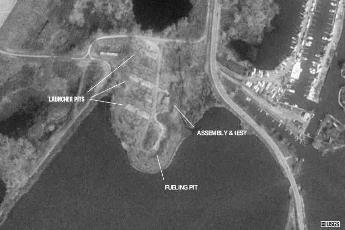
This is a close-up picture of the Launcher area from the Microsoft TerraServer. This image was taken in 1993.
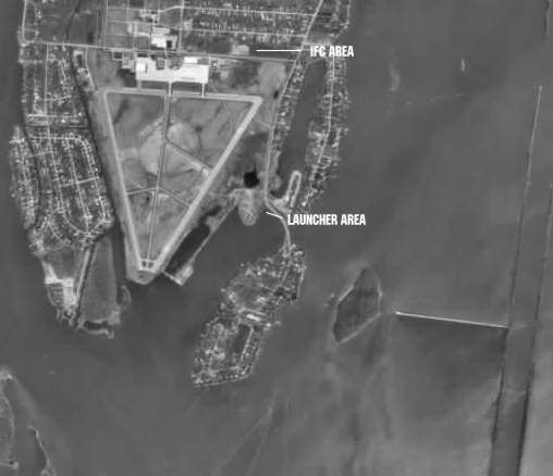
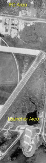
This is a larger picture of the area which shows the whole airfield. The Launcher area is indicated in the lower right and the IFC area is in the upper right area. The only items remaining in the IFC are the 2 radar towers which are right on the fence line.
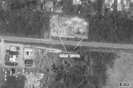
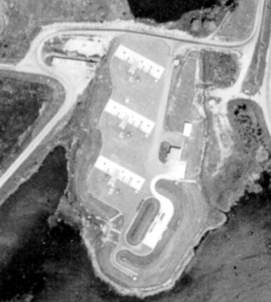
This is a close-up picture of the IFC area from the Microsoft TerraServer. This image was taken in 1993.
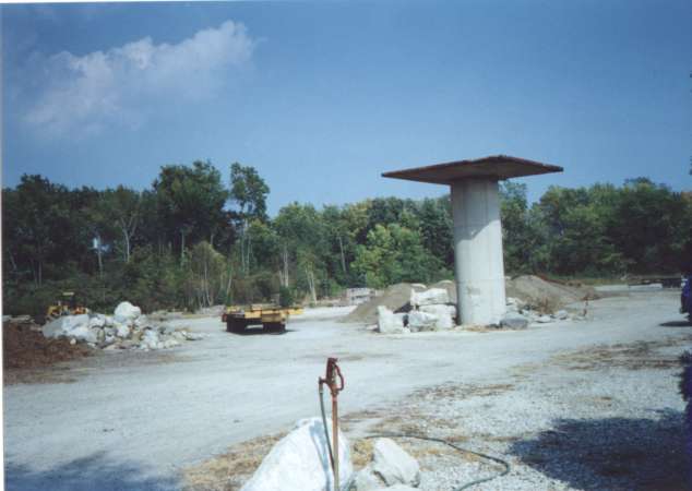 |
One of the radar towers at the former IFC area. What is left of the area is leased to a landscaping company. The towers have since ben destroyed. |
 |
Another view of the same tower. |
 |
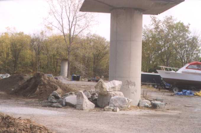
The other remaining tower. |
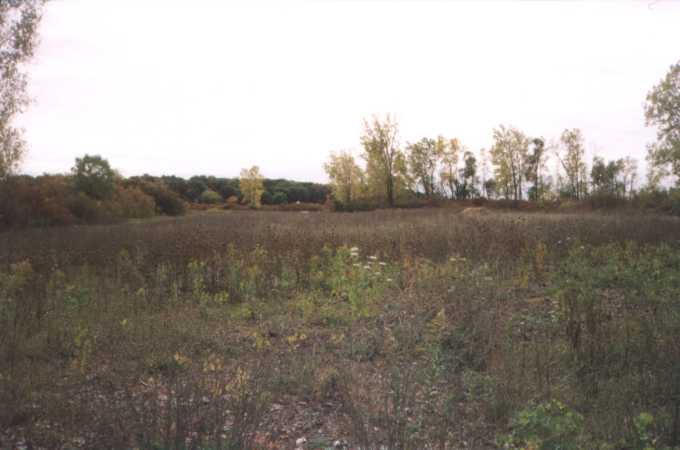 |
The Launcher Area looking south. The whole area is now a nature preserve currently run by the Environmental Protection Agency. |
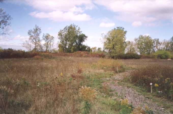 |
Looking west at what was once the "B" pit. |
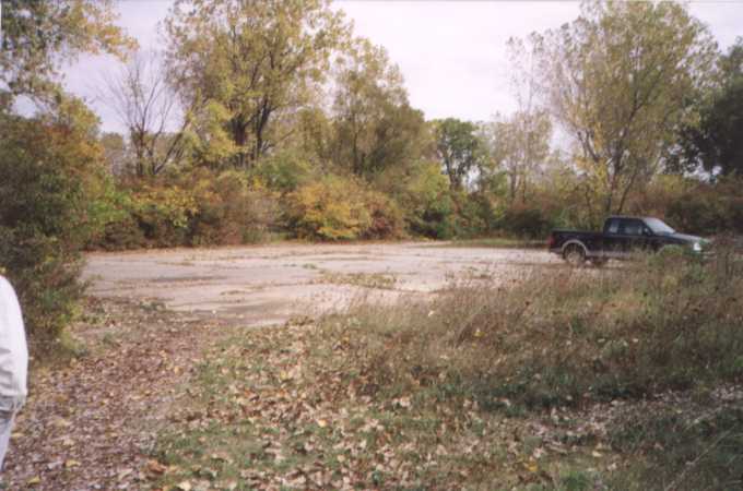 |
A parking lot at the entrance to the Launcher Area. |
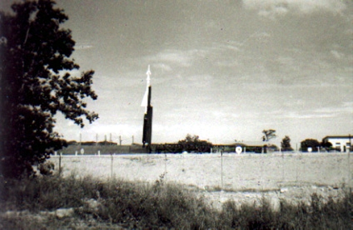 |
A Nike Ajax training round elevated on a launcher in "A" section. From the collection of Melvin Smith. 52k. |
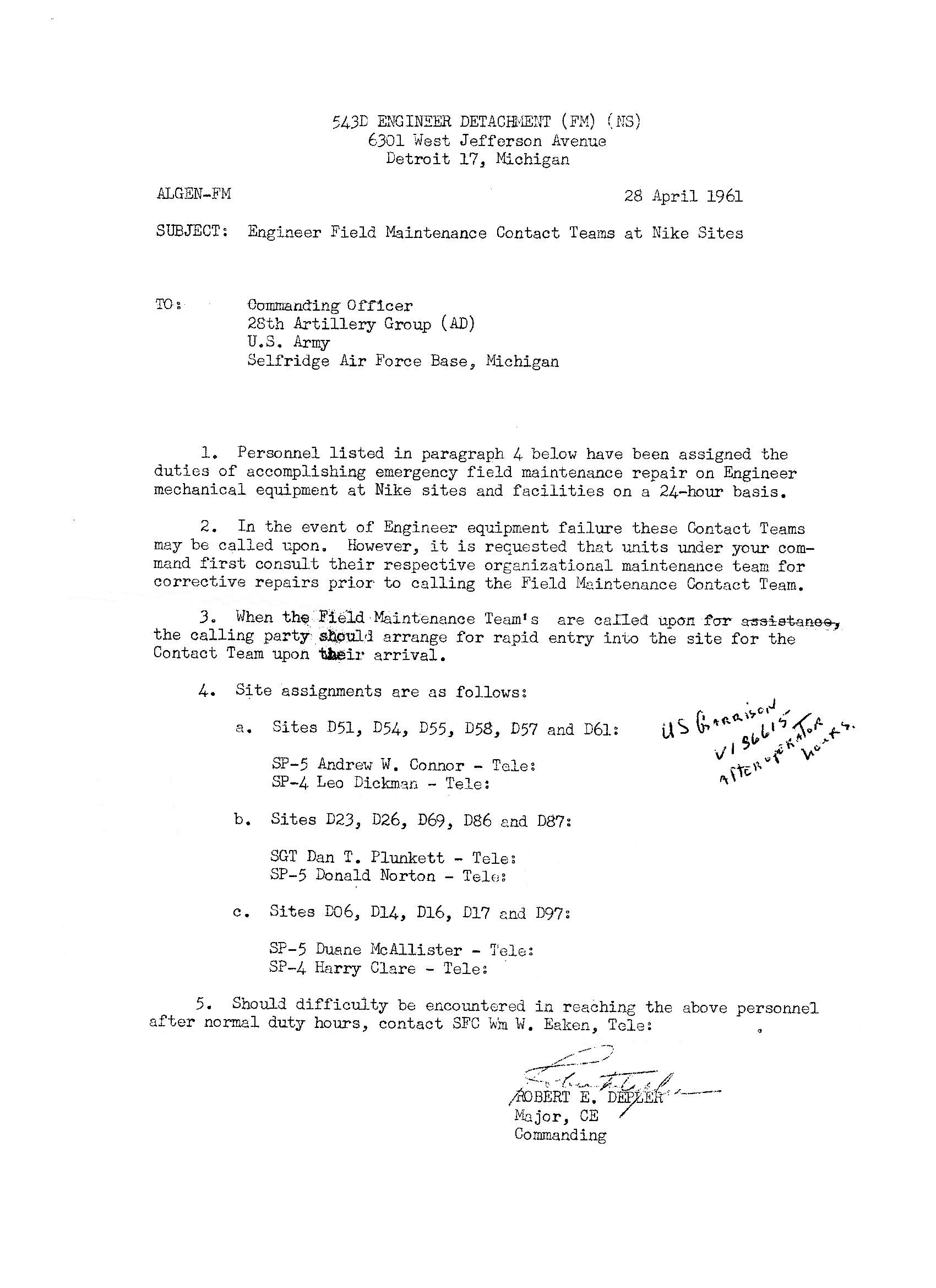 |
Memo documenting the personnel assignments for Emergency Equipment Maintenance for all Detroit Nike Sites. Contributed by Linda Klais. 395k |
| Click on the image to the left to see a few pictures of D-51 from Stanley Outlaw's NAS Grosse Ile website |
Formerly Used Defense Sites Public Geographic Information System
| Property Name: |
GROSSE ILE NAS - NIKE D-51 |
|||||
| Latitude: | 42° 5' 54" N | 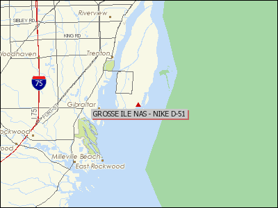 |
||||
| Longitude: | 83° 9' 15" W | |||||
| City: | GROSSE ILE | |||||
| County: | WAYNE | |||||
| State: | MI | |||||
| Corps Geographic Office: | Louisville District (LRL) | |||||
| Point of Contact: | LRL Public Affairs Office | |||||
| Public Affairs Office Phone Number: |
502-315-6766 | |||||
| Status on National Priorities List: |
Not Listed | |||||
| EPA Region: | 5 | |||||
| Congressional District: | 12 | |||||
| Restoration Advisory Board Available: |
No | |||||
|
|
||||||
| The 617.55 acre property contained an air station with approximately 82 buildings and a 40 acre NIKE site with three missile storage structures and five buildings. | ||||||
|
|
||||||
| The property was acquired between 1929 and 1942. Most of the buildings were constructed in the early 1940s when the Navy operated a complete air facility here. A portion of the site was transferred to the Army in 1954, which constructed the Nike missile site. The property is currently owned by the Gross Isle Township and the EPA. | ||||||
| Current Ownership Types(s): CITY; FEDERAL | ||||||
| Cost to Complete (thousands): $4304.26 | ||||||
| Rank | Name | Assignment | Dates |
|---|---|---|---|
| Melvin F. Smith | Launcher Crewman | 1955 - 1957 |
This page was last updated on
03/10/2014
.
© 1998 - 2025 T. Bateman